Are you looking at a home or acreage near Panguitch and wondering if you really need a property survey? You’re not alone. Rural and edge-of-town parcels around Garfield County can come with long driveways, old fence lines, and unclear boundaries that deserve a closer look. In this guide, you’ll learn when a survey is required, when it’s simply smart to order one, what it shows, how much it may cost, and the exact steps to get it done on your timeline. Let’s dive in.
What a property survey includes
A property survey is a professional map of your land prepared by a licensed land surveyor. It locates legal boundaries and important features so you know where your rights begin and end.
Here’s what most surveys provide:
- A signed survey plat or map and a written certificate
- Boundary lines with bearings and distances, and corner monuments found or set
- Location of improvements like homes, sheds, fences, driveways, wells, and septic systems
- Recorded easements, rights-of-way, and building setbacks where available
- Notes on encroachments or overlaps with neighboring properties
What a survey may not show:
- Unrecorded or historical rights unless visible on site
- Title defects or ownership disputes that are not of record
- Underground utilities unless you request that scope
Common survey types
- Boundary (property) survey: Defines corners and lines, and shows how improvements sit relative to those lines. This is most common for buyers and sellers.
- Mortgage or buyer’s title survey: A simpler version often used for loan and title purposes. Detail depends on the lender and title company.
- ALTA/NSPS Land Title Survey: A detailed, standardized survey typically used for commercial or complex properties.
- Topographic survey: Adds contour and elevation data for site planning, grading, or septic design.
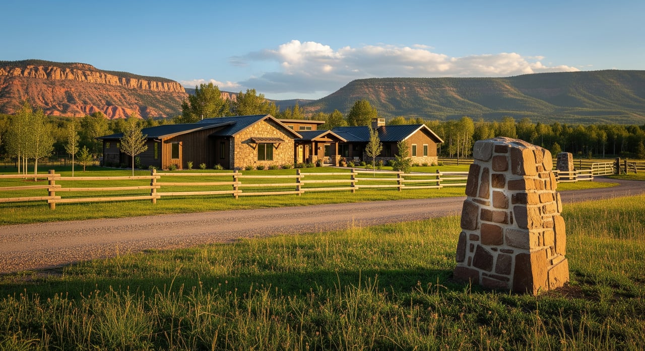
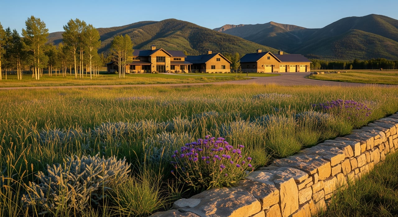
Do you need a survey in Panguitch?
The short answer: it depends on your lender, your title company, your plans for the property, and the property’s risk profile. Rural parcels around Panguitch and Garfield County tend to benefit from a survey more often than small, platted in-town lots.
When a lender or title company requires it
Some lenders and title companies require a survey to issue certain title policies or to clear survey-related exceptions. Requirements vary by lender, loan type, and property complexity. Commercial loans and large or irregular parcels more often need an ALTA/NSPS survey. Many conventional single-family loans may proceed without a new survey if the title policy includes standard survey exceptions, but that increases your risk. Ask early so you can plan your timeline and budget.
When local permits or approvals require it
If you plan to build, add an outbuilding, adjust a lot line, or install septic, expect to provide a certified survey or a site plan prepared from a survey. Garfield County and Panguitch permitting staff can confirm what is needed for your specific project.
When a survey is strongly recommended
You should seriously consider ordering a boundary survey if any of the following apply:
- You are buying a larger or rural parcel with unmarked corners
- The property uses private roads, shared driveways, or historic access routes
- There are fences or structures near the perceived boundary lines
- The parcel has an irregular shape or a metes-and-bounds legal description
- You plan new improvements, fencing, or septic placement soon after closing
When a survey may be optional
If you are purchasing a smaller, well-platted in-town lot with clearly set corners, no visible boundary issues, and your lender and title company do not require it, you may decide to skip a new survey. Even then, weigh the peace of mind against the cost, especially if you plan any near-line improvements.
Panguitch-specific issues a survey can solve
Panguitch sits near national forest lands, ranch properties, and rural acreage. That mix often creates unique boundary and access questions.
Boundary vs. fence lines
Older fences and grazing lines do not always match the recorded legal boundary. A boundary survey shows the true line and whether any fence, driveway, or structure crosses it.
Access and easements
Long private driveways, undedicated roads, and historic routes are common on the outskirts of town. A survey helps locate recorded easements and rights-of-way so you understand how you legally access the property.
Encroachments and setbacks
Sheds, decks, and garages sometimes sit closer to the boundary than allowed. A survey measures distances to lot lines and identifies encroachments to address before or after closing.
Lot shape and actual acreage
Many rural parcels use metes-and-bounds descriptions. That can make acreage and usable area easy to misjudge. A survey confirms true dimensions and acreage.
Septic, wells, and utilities
For septic permits and site planning, you may need a survey or a site plan built from a survey. Setbacks from wells, property lines, and other features must be clearly documented.
Title insurance and risk reduction
If your title commitment includes a standard survey exception, a current survey may allow the title company to modify or remove that exception or add an endorsement. That reduces risk for you and your lender.
How to order a survey in Panguitch
Follow this checklist to keep your purchase on track:
- Confirm lender and title requirements early
- Ask if your loan or title insurance requires a survey and what type they expect.
- If an ALTA/NSPS survey is needed, note that up front to budget time and cost.
- Gather existing records
- Share the deed, any prior surveys, the title commitment, and plat maps.
- Pull recorded documents from the Garfield County Recorder to support the surveyor’s research.
- Choose a licensed Utah land surveyor
- Verify that your surveyor is licensed in Utah.
- Request a written estimate, sample plats, references, and evidence of professional liability insurance.
- Define the scope in writing
- Specify the type of survey and deliverables you need.
- Clarify whether the surveyor will set new monuments or only locate existing corners.
- Coordinate access
- Provide gate codes, contact info, and any special instructions for rural parcels.
- Review the draft plat carefully
- Confirm that easements, encroachments, and dimensions align with your expectations and the deed.
- Resolve issues before they become problems
- If encroachments or overlaps are found, consider boundary line agreements, recorded easements, title endorsements, or legal counsel.
What to ask a surveyor
- Are you licensed in Utah, and what is your license number?
- Do you carry professional liability insurance?
- Which survey standard do you recommend for this property and purpose?
- Will you set new monuments or just locate existing corners?
- What is the estimated timeline from field work to final plat?
- What does your fee include, and how will you coordinate with the title company?
- Can you share references for similar rural or Panguitch-area projects?
Cost and timeline expectations
Costs vary based on size, terrain, complexity, and distance. As general guidance:
- Small, in-town lot boundary surveys often run from a few hundred to the low thousands of dollars
- Rural or large-acreage surveys can range from roughly $1,000 to several thousand dollars
- ALTA/NSPS or complex research jobs land at the higher end
Timelines often span 1 to 4 weeks from ordering to final plat, depending on surveyor workload, records research, and field conditions. Remote and complex sites can take longer.
If your survey reveals an issue
Do not panic. Surveys are tools that help you solve problems before they get expensive.
- Minor encroachments: Many are resolved with simple neighbor agreements, recorded easements, or small adjustments in the purchase terms.
- Bigger boundary disputes: Coordinate with your title company and consider legal counsel. Title insurance endorsements may address certain risks once the facts are documented.
- Access discrepancies: Work toward a recorded access easement or negotiate a contingency to fix the issue before closing.
Buyer scenarios in Panguitch
- Five to twenty acres on the outskirts: Strongly consider a boundary survey to confirm access, locate easements, and verify acreage before you remove contingencies.
- Cabin near public lands: Use a survey to confirm whether driveways or improvements cross onto neighboring lands and to document access rights.
- In-town lot with fences and sheds: Order a boundary survey to check setbacks and avoid headaches when planning additions or new fencing.
Local resources to consult
- Garfield County Recorder and Assessor for recorded deeds, plats, and parcel maps
- Garfield County Planning and Zoning or Panguitch City Building for permits, setbacks, and subdivision guidance
- Utah’s professional licensing board to verify a land surveyor’s license
- U.S. Forest Service and Bureau of Land Management maps if your parcel abuts public lands
The bottom line
There is no one-size-fits-all rule for surveys, but the more rural or irregular the property, the more a survey can protect you. In the Panguitch area, a boundary survey often pays for itself by clarifying access, corners, and encroachments before they become deal-breakers.
If you want help deciding whether to order a survey, what type to choose, or who to call locally, reach out. Our team can coordinate with your lender and title company, share trusted surveyor referrals, and keep the process on schedule so you can close with confidence. Connect with Donavan and Tyson any time, or start by contacting Donavan Allen for direct guidance tailored to your property.
FAQs
Do I always need a property survey when buying in Panguitch?
- No. Requirements vary by lender and title company. For larger rural parcels or when access or boundaries are unclear, a survey is strongly recommended.
Will a prior survey work for my lender and title company?
- Possibly. If it matches the current legal description and improvements, it may be acceptable. Share it with your lender, title company, and surveyor to confirm.
Who pays for the survey in a home purchase?
- It is negotiable. Buyers often pay when it is for their protection or a loan requirement, but your purchase contract can allocate this cost either way.
How long does a property survey take in Garfield County?
- Plan for about 1 to 4 weeks, depending on size, terrain, research needs, and the surveyor’s workload. Larger or remote parcels can take longer.
Can a new survey remove title insurance exceptions?
- Yes, sometimes. A current, acceptable survey may allow the title company to modify or remove survey-related exceptions or add endorsements. Ask your title officer.
How do I find a reputable Utah-licensed surveyor near Panguitch?
- Verify Utah licensure, request references and sample plats, and ask county or city staff for local referrals. Choose a surveyor with rural parcel experience.