Buying Land Near Aurora Utah: Key Things To Evaluate
March 19, 2026
March 19, 2026
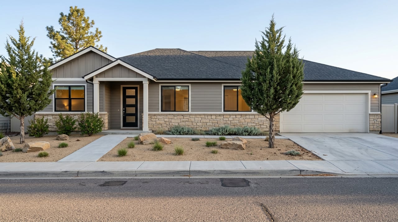
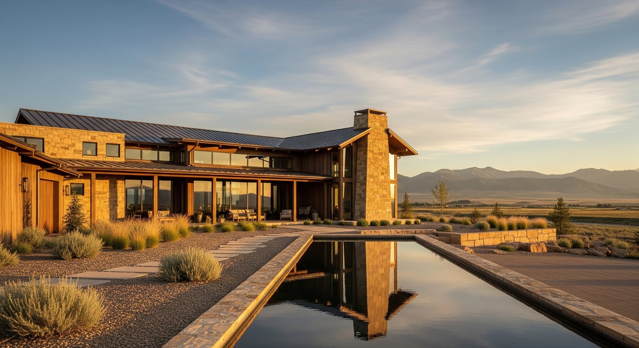
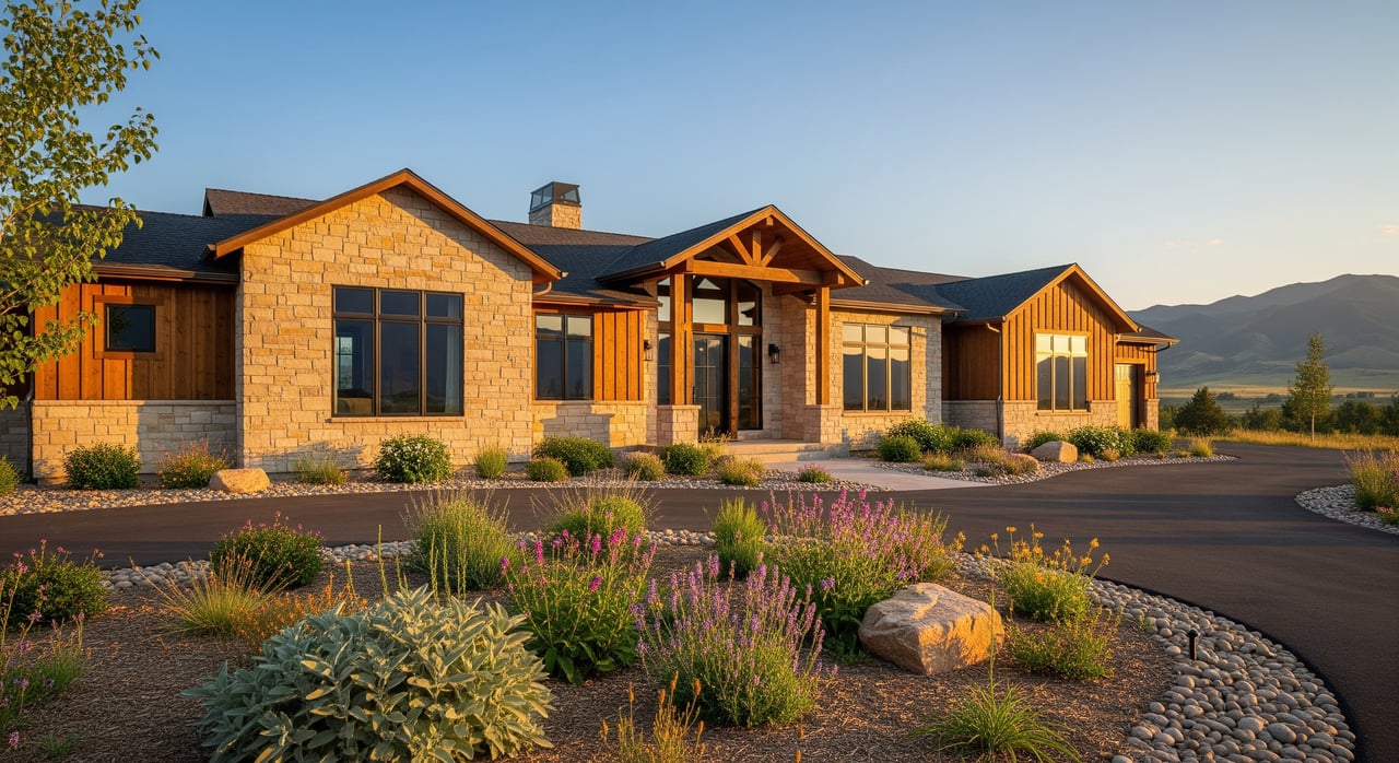
Thinking about buying land near Aurora in Sevier County? The right parcel can be a smart long-term move, but rural land comes with details you do not want to miss. From water rights to recorded access, a few key checks will protect your plans and budget. In this guide, you will learn what to evaluate, where to verify it, and how to move from idea to build-ready with confidence. Let’s dive in.
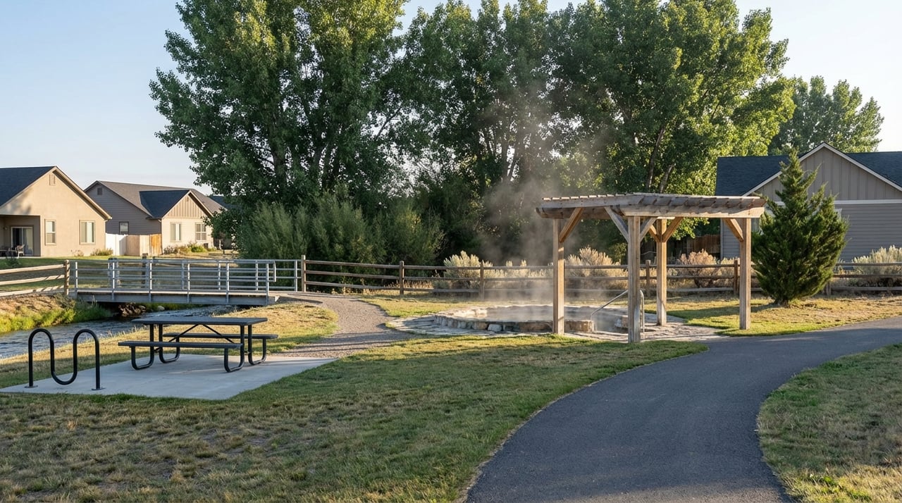
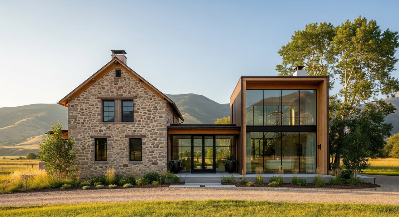
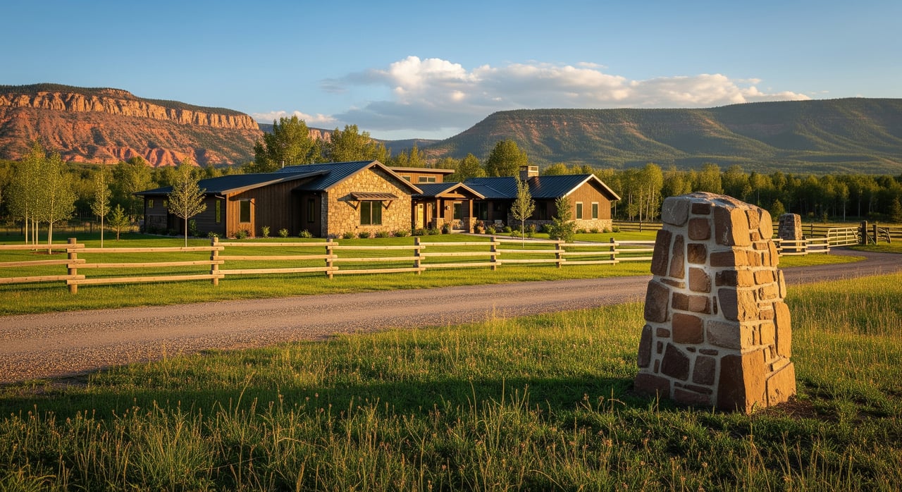
Aurora sits in the north end of the Sevier Valley, a working agricultural area with long-standing irrigation systems and a mix of private and public land nearby. Parcels can look simple on a map yet have complex rights or limits attached. You will see state and county roads, canals, and utility corridors that shape access and service options. That mix makes careful due diligence essential before you go under contract.
Before you fall in love with a parcel, confirm what you can build and how you can use it. Check the parcel’s zoning, allowed uses, minimum lot sizes, setbacks, and whether it sits inside a town boundary or in unincorporated Sevier County. The county’s rules live in the Sevier County Land Use and Subdivision Code.
If you plan to split acreage, read the subdivision and platting standards, since road dedications and easements may be required. As a local reference point, an A‑1 agricultural zone in the area has been cited in a prior state land listing as allowing a single-family home on a one-acre minimum. That is an example, not a promise. Always verify the current rule set with county planning. You can see that example context in a past Utah Trust Lands listing near Aurora.
In Sevier Valley, water is often the deciding factor. Utah follows prior appropriation, which means the right to divert water is separate from the land in many cases. The Sevier River Basin has special management rules that affect new wells and changes to existing rights. Review the State Engineer’s policy for the basin on the Utah Division of Water Rights site.
Here is how to check a parcel:
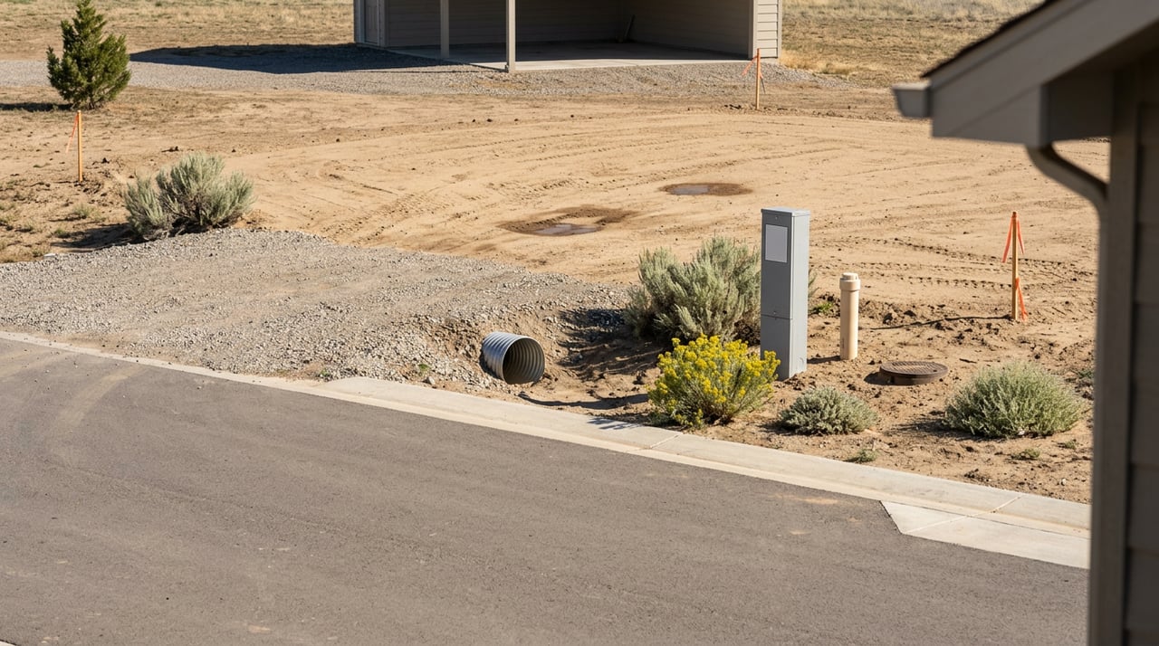
You need more than a drivable path. Lenders and the county typically require legal access via a public road or a recorded easement to issue permits and close financing. Do not assume an old track, a gate, or a neighbor’s handshake equals legal access. Use the county recorder’s system to search for deeds, plats, and recorded easements, then confirm who maintains the road you will use. Start with the Sevier County Recorder’s records portal.
Power, water, and wastewater solutions will shape your budget and timeline. Outside city limits, many parcels use private wells and on‑site septic. Sevier County’s building plan review checklist notes that septic and well permits are required where there is no public system. Review the county’s Plan Review Checklist so you know what approvals you will need before you apply for a building permit.
For electric, confirm the serving utility and whether distribution lines are near your frontage. Ask for a written estimate for any line extension. If no public water or sewer is available, factor in drilling, pump, storage, and septic design costs. Written confirmations from providers will help you avoid surprises.
Soil type and slope can determine if your land can support a septic system and what kind of foundation you will need. Start with the NRCS Web Soil Survey to get a high-level view of soils, drainage, and hydrologic groups, then plan site-specific testing. The University of Delaware’s guide explains how to use the NRCS Web Soil Survey.
Expect to order a percolation test for septic design and a geotechnical report before building. These studies help you set building envelopes, size septic systems, and spot any grading or access issues early.
Parcels near the Sevier River, canals, or reservoir releases may sit in mapped flood zones or have special drainage needs. Check the FEMA Flood Insurance Rate Maps through the Map Service Center and talk with the county floodplain manager about any local studies. FEMA’s training page outlines how to use the FEMA Map Service Center.
If any part of your build area is in a Special Flood Hazard Area, you may need an elevation certificate, engineered drainage, and flood insurance. Mapping early helps you plan for those costs or adjust your layout.
Much of the surrounding high country is managed by the U.S. Forest Service and BLM. If your parcel borders public land, confirm the status of nearby access roads, recreation use, and any grazing allotments that could affect fencing or traffic. For a regional overview of access and travel management, review the USFS Fishlake National Forest materials.
This is not a drawback. It is about awareness. Adjacent public lands can add open views and recreation access, but you want clarity on routes, seasonal use, and any agency coordination needed for gates or trailheads.
Order a title commitment early and read the exceptions. You are looking for recorded easements, covenants, mineral reservations, leases, liens, and deeds of trust. The county recorder’s files are your baseline for deeds, plats, and easements. Begin with the Sevier County Recorder portal.
Mineral rights in Utah can be severed from the surface. In some parts of central Utah, oil, gas, or mining leases exist. Ask your title officer to search for reservations or leases and review activity using the state’s system. You can explore the Utah Division of Oil, Gas and Mining’s mapping resources at the UDOGM Drilldown pages.
Here is a simple path many rural buyers follow for a single-family build:
Use this list to stay organized during your inspection period:
Coordinating all of this takes time. A local, land‑savvy agent can pull the right county files, line up surveyors and septic testers, translate state water-rights records, and keep your deal on track. Our team works across Sevier County every week, so we can flag issues early and connect you with the right pros, from well drillers to title officers. That way, you get to close with fewer surprises and a clearer plan.
Ready to evaluate a specific parcel near Aurora? Reach out to Donavan Allen for a focused strategy, from first look to build-ready.
Stay up to date on the latest real estate trends.